Charleston’s alleys were not part of the 1680 Grand Modell. They grew as informal shortcuts and service paths between the main streets shown on the 1711 Crisp Map. Their origins are entirely functional. Some served as routes for cattle going to market or harbor pilots reaching their boats at the waterfront. Others began as service lanes behind the grand houses on East Bay Street.
Fires in 1740, 1778, 1838, and 1861 repeatedly destroyed whole blocks, including alley frontages. The 1778 fire alone leveled 15 buildings on Longitude Lane. Each time, the alleys were rebuilt narrow, on the exact same footprints. Many fell into disrepair after the Civil War. Preservationists like Susan Pringle Frost and Alida Canfield bought the alleys back building by building, restoring them and paving them in brick. Walkers who seek them out today find pedestrian corridors lined with historic outbuildings, wrought-iron gates, and cobblestones.
| Alley | Runs Between | What to Look For |
|---|---|---|
| Stoll’s Alley | Church Street and East Bay Street | Five wrought-iron gates by Philip Simmons |
| Zig Zag Alley | North from Atlantic Street | A 90-degree turn in the brick paving |
| Longitude Lane | Church Street and East Bay Street | An upright Revolutionary War cannon barrel |
| Price’s Alley | Meeting Street and King Street | A restored brick cut-through |
| Bedon’s Alley | Tradd Street and Elliott Street | Former counting houses converted to Colonial Revival homes |
| St. Michael’s Alley | Meeting Street and Church Street | The “Cross & Egret” gate at No. 2 |
| Unity Alley | East Bay Street and State Street | The former McCrady’s Tavern property |
| Philadelphia Alley | Queen Street to Cumberland Street | High brick walls enclosing the passage |
| Gateway Walk | Archdale Street to Church Street | A fern-lined path linking the Unitarian churchyard to King Street |
The passages below run roughly south to north, from the Battery to the French Quarter.
Stoll’s Alley
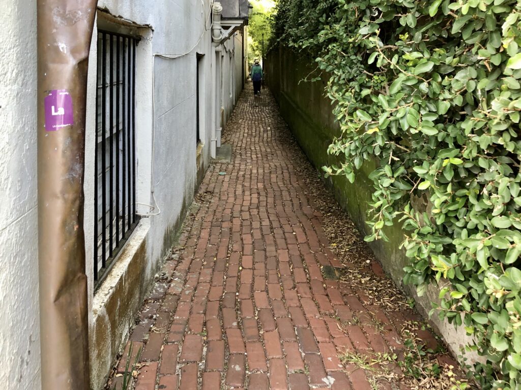
Runs between Church Street and East Bay Street, just above Water Street. The brick-paved lane has a wider Church Street entrance that narrows to five or six feet at East Bay. Walkers pass historic houses and five wrought-iron gates by blacksmith Philip Simmons. Originally called Pilots Alley for the harbor pilots who used it, the passage was renamed for blacksmith Justinus Stoll, who built a house here around 1745. After the lane fell into poverty post-Civil War, Alida Canfield bought and restored every building starting in 1919. The city paved it in brick by 1927.
Zig Zag Alley
Runs north from Atlantic Street, roughly halfway between East Battery and Church Street. One of the city’s shortest streets, the brick-paved lane features a sharp 90-degree turn. The house at 3 Zig Zag Alley dates to 1905–1910, built for the Trust Estate of James F. and Josephine L. Spinney. The name’s origin is unresolved. The conventional explanation is that it describes the lane’s winding shape. A competing explanation ties the name to early-1800s seamstresses on the alley who used the zig-zag stitch. The street sign is reportedly the most frequently stolen in Charleston, though this is unverified.
Longitude Lane
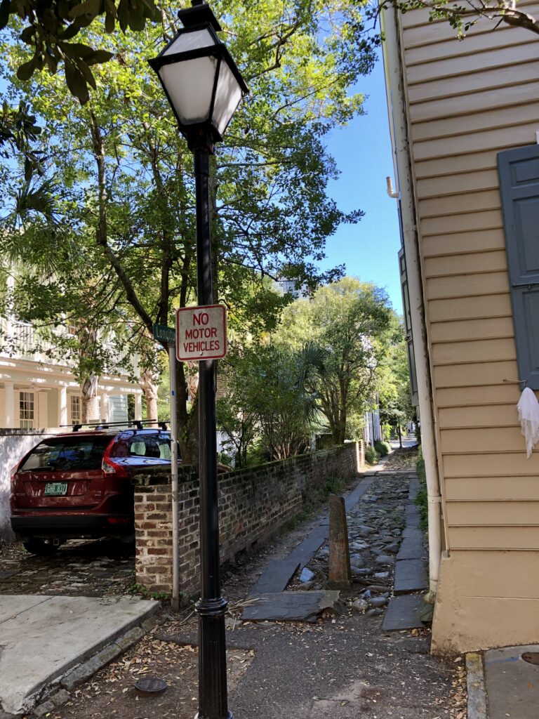
Runs between Church Street and East Bay Street. The cobblestone and flagstone surface spans about 10 feet wide. Dating to the late 1600s, it is believed to be an original street within the walled city. Originally Jenkins Alley, it was renamed Longitude Lane in May 1762 to mark clockmaker John Harrison solving the 1714 Longitude Act’s prize problem. Partway down the lane, a British 4-pounder cannon barrel sits embedded upright. Workers unearthed it during the 1853 construction of the Tyler Cotton Press, and residents installed it as a permanent barrier against cotton wagons cutting through.
Price’s Alley
Runs between Meeting Street and King Street, below Tradd Street. The land was originally swampy marshland at the headwaters of Vanderhorst Creek, filled in as an early landfill project. Originally Sommers Lane, it was renamed in 1749 after Hopkins Price bought the property. Historically, the alley housed a tannery, Irish immigrants, and African American tradesmen. Leander Fairchild, a free man of color, purchased land here in 1783 that remained in his family for more than a century. Today, walkers see a restored brick cut-through.
Bedon’s Alley
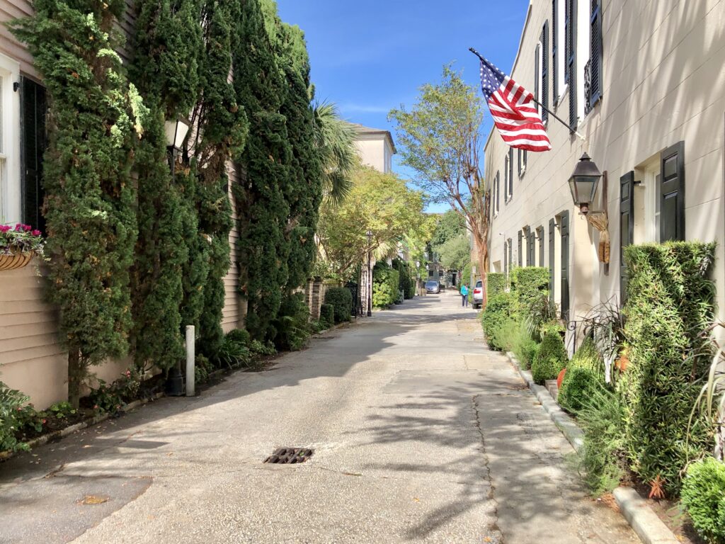
Runs between Tradd Street and Elliott Street. Walkers see a row of restored Colonial Revival homes. These structures originally served as chandleries and counting houses for the grand East Bay houses known as Rainbow Row. The passage appears on the 1711 Crisp Map as Middle Lane. It was renamed by the 1730s for merchant George Bedon. Fires in 1740 and 1778 severely damaged the lane, with the 1778 fire destroying 15 buildings here. Following the 1886 earthquake, the alley was rebuilt brick by brick. Preservationist Susan Pringle Frost rescued and converted the outbuildings in the 1920s and 1930s.
St. Michael’s Alley
Runs between Meeting Street and Church Street, south of Broad Street. Originally an extension of Elliott Street, it is named for St. Michael’s Church on its northern side. Walkers find a narrow pedestrian lane with a Philip Simmons wrought-iron gate at No. 2. Notable structures include the 1849 law office of jurist James Louis Petigru and the 1915 home of Clelia McGowan, Charleston’s first alderwoman. Preservation Society co-founder Susan Pringle Frost began buying and restoring houses here before World War I, when the block was considered a slum.
Unity Alley
Runs between East Bay Street and State Street. The cobblestone lane features colorful shuttered buildings and functions as a shortcut to the waterfront. The origin of the name Unity is unverified. Merchant Edward McCrady built a tavern fronting East Bay Street by 1779, with a rear “Long Room” reached via the alley. This room hosted a 30-course banquet for President George Washington on May 4, 1791. Preservationists saved 2 Unity Alley from demolition in 1971 by tracing deeds back to 1778. The property operated as McCrady’s Restaurant from 1982 until 2020.
Philadelphia Alley
Runs north from Queen Street to Cumberland Street. The one-block pedestrian lane is about 12 feet wide. High brick walls enclose both sides, limiting access at either end. Informally called Cow Alley due to livestock traffic, it was renamed Philadelphia Street around 1811, reciprocating aid sent by Philadelphia citizens after an 1810 Charleston fire. By 1884, it was flanked by mills, lumberyards, and a cotton warehouse. The City of Charleston restored and landscaped the alley in 2006.
Gateway Walk
Runs roughly half a mile between Archdale Street and Church Street. This is a designed pedestrian route. The path begins at St. John’s Lutheran Church, crosses King and Meeting Streets, and ends at St. Philip’s Episcopal Church. Walkers follow a garden-like path through historic churchyards, cemeteries, and the Gibbes Museum of Art grounds. The Garden Club of Charleston designed the walk in 1930 as a civic beautification project. Landscape architect Loutrell Briggs is credited with the original design. The route is named for its decorative wrought-iron gates.
The City’s Most Famous Alley Ghost Is Claimed by Two Passages
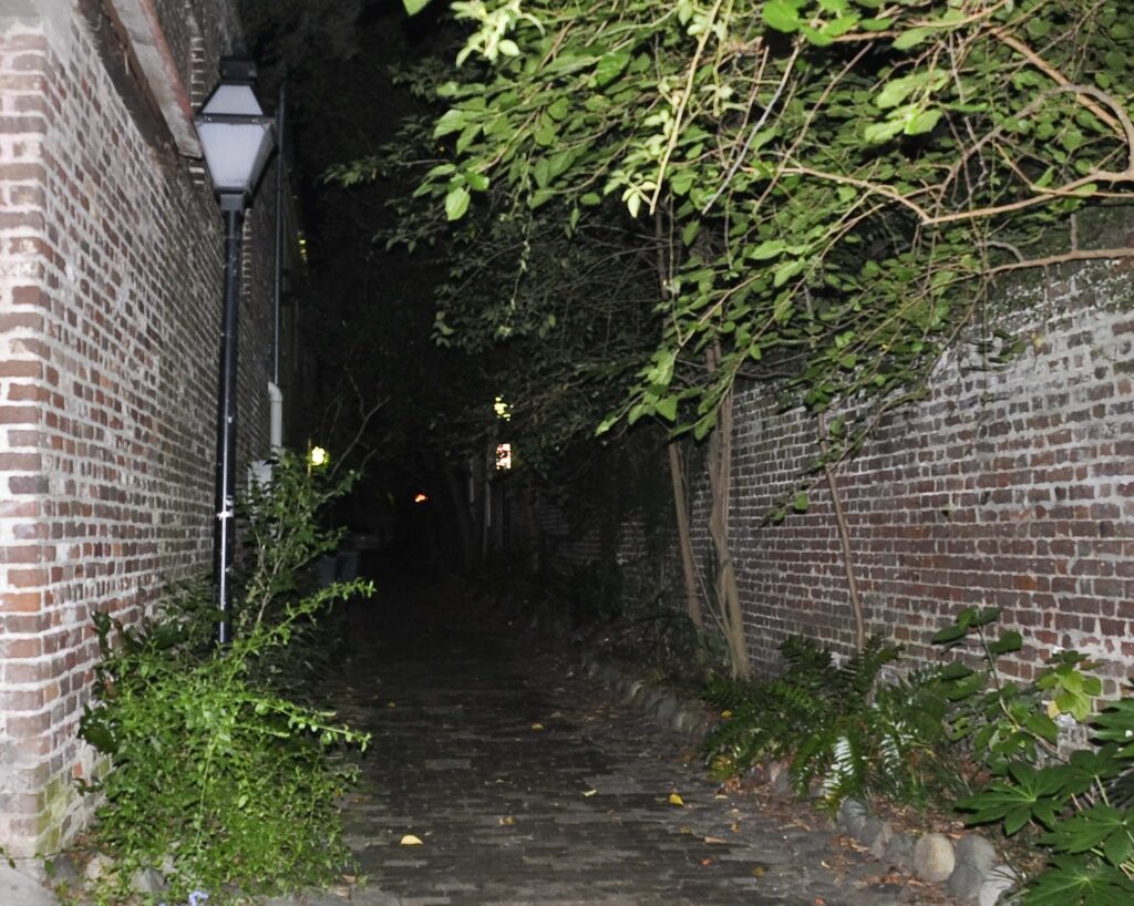
The narrowness and high brick walls of Philadelphia Alley and St. Michael’s Alley made both passages favored dueling grounds in local lore. The city’s most famous alley ghost story centers on Dr. Joseph Brown Ladd, the “Whistling Doctor.” Ladd was mortally wounded in an October 23, 1786 duel with Ralph Isaacs III. Ladd fired wide, Isaacs did not, and Ladd died of his wound ten days later. Popular tourism sources claim Ladd’s ghost haunts the alley where he fought, attaching the claim to both Philadelphia Alley and St. Michael’s Alley. Grahame Long, a former curator at the Charleston Museum, researched the duels and found no documentation that Ladd fought in either alley. Historians point to the College of Charleston’s Cistern Yard or Hampton Park as the actual site. The ghost story is a legend claimed by two alleys and documented in neither.
The alleys listed above are public streets and passages open to pedestrians. The buildings along alleys like Bedon’s and Stoll’s are private residences. Gateway Walk crosses through active churchyards and museum grounds, and walkers must follow the posted hours of those institutions.